
Aerial drone photography in Puerto Vallarta
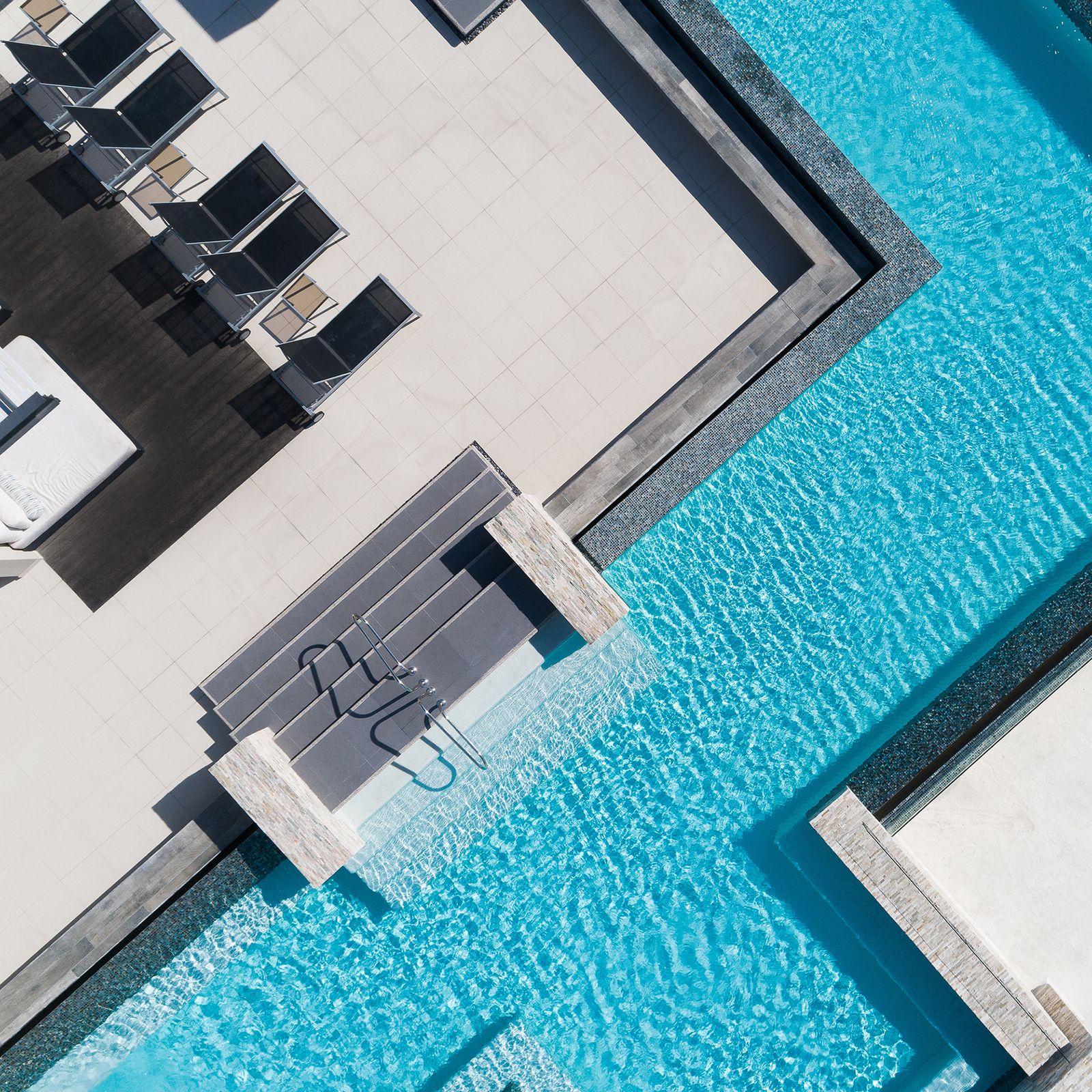
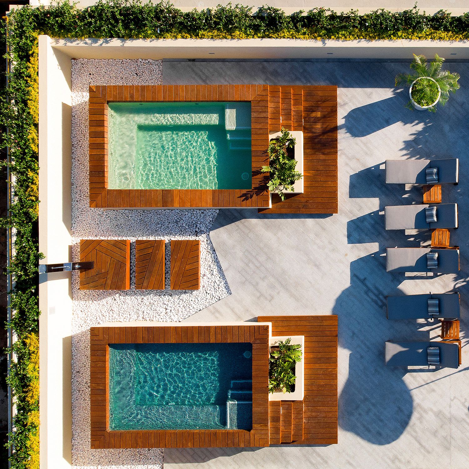
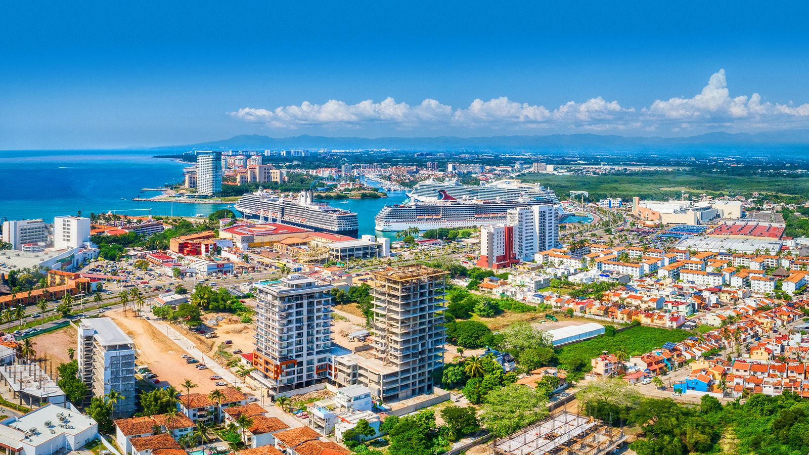
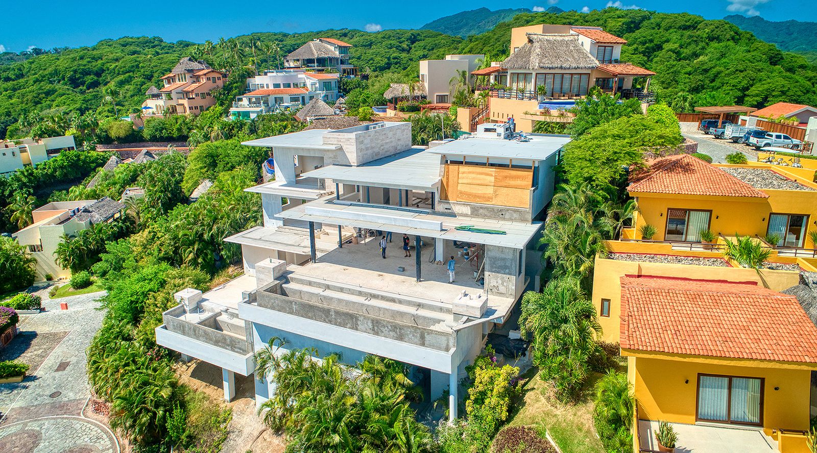
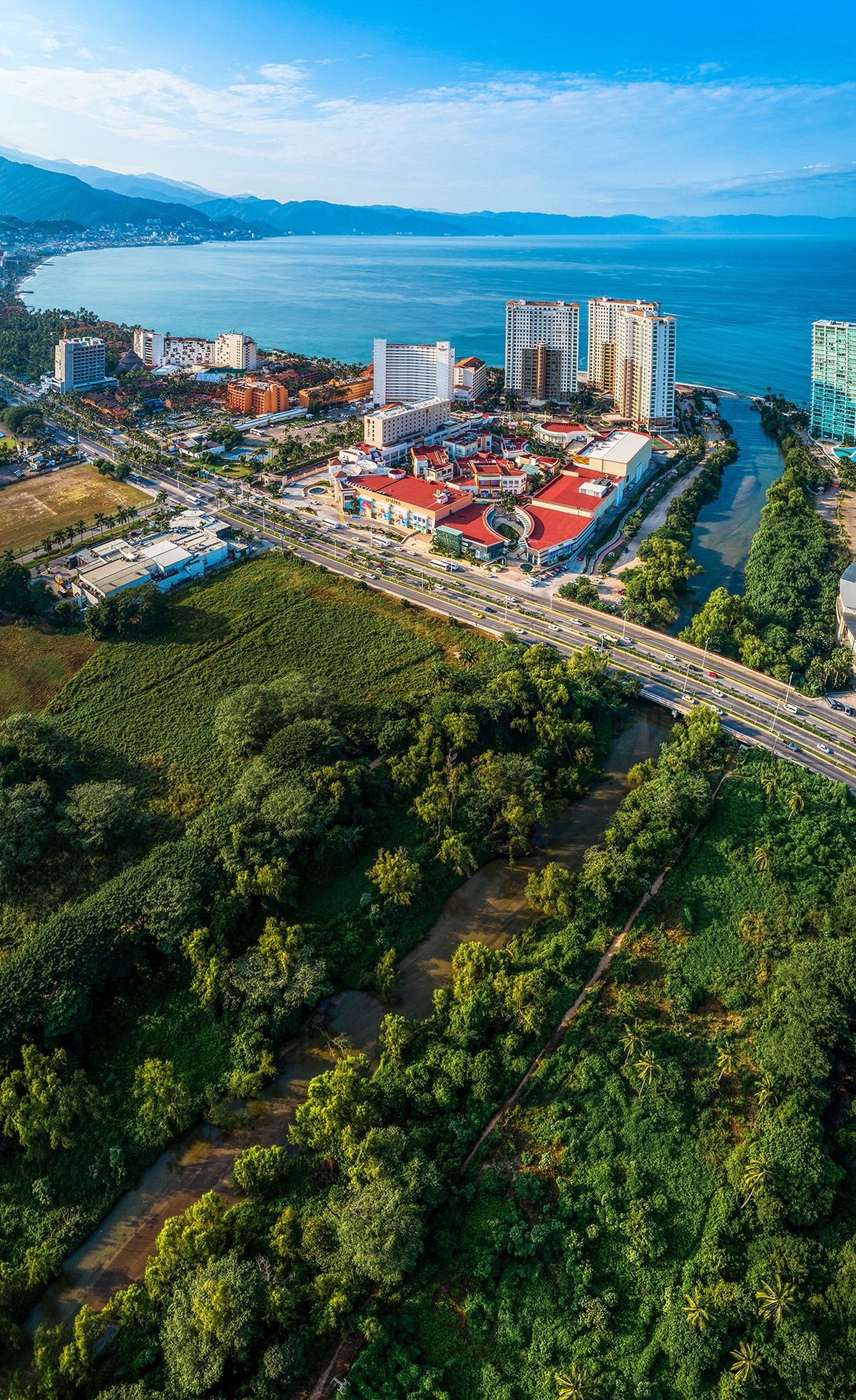
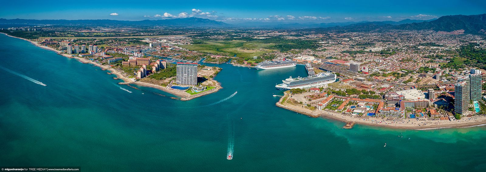
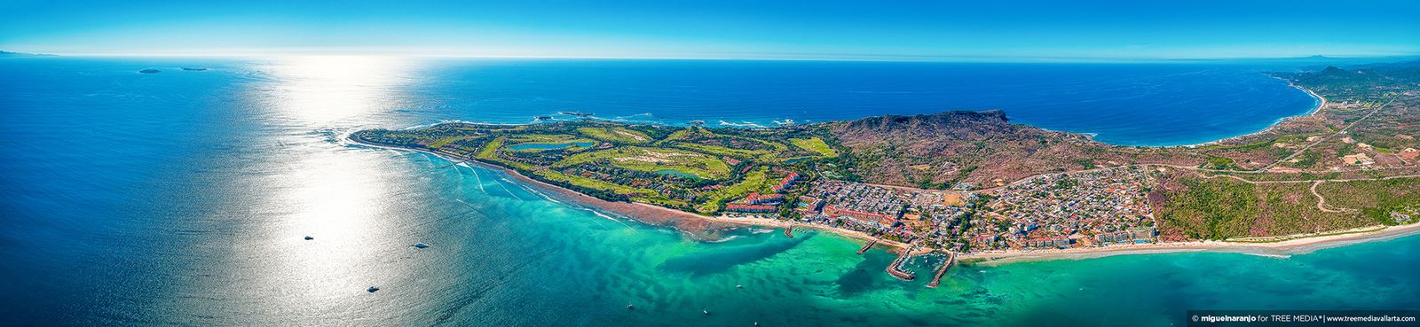
Aerial drone photography for real estate developments, architecture and construction in Puerto Vallarta and Riviera Nayarit. We show what a ground-level photo cannot: location, views, access and surroundings.
Includes
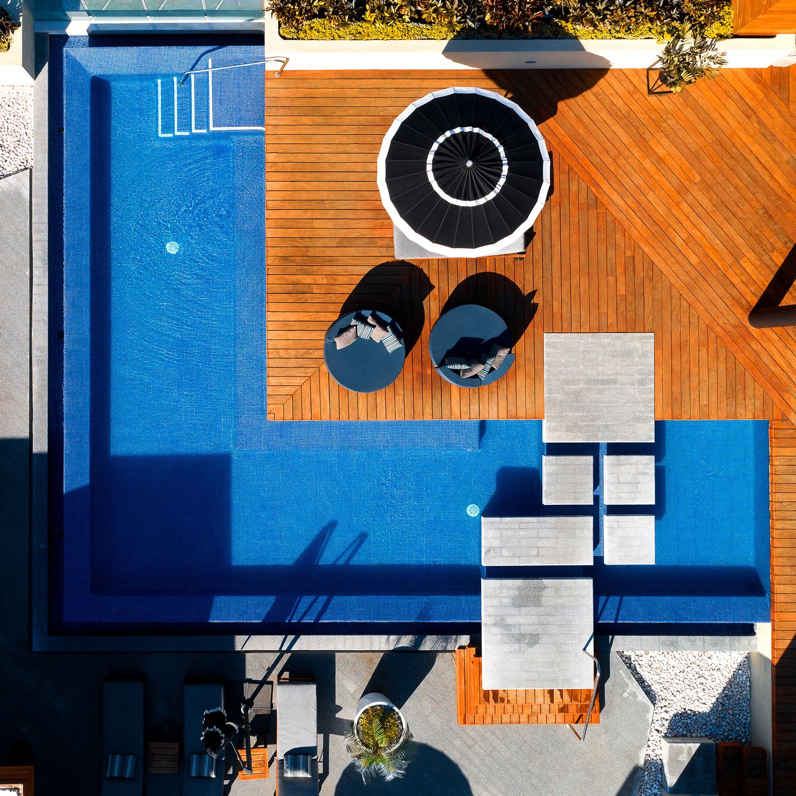
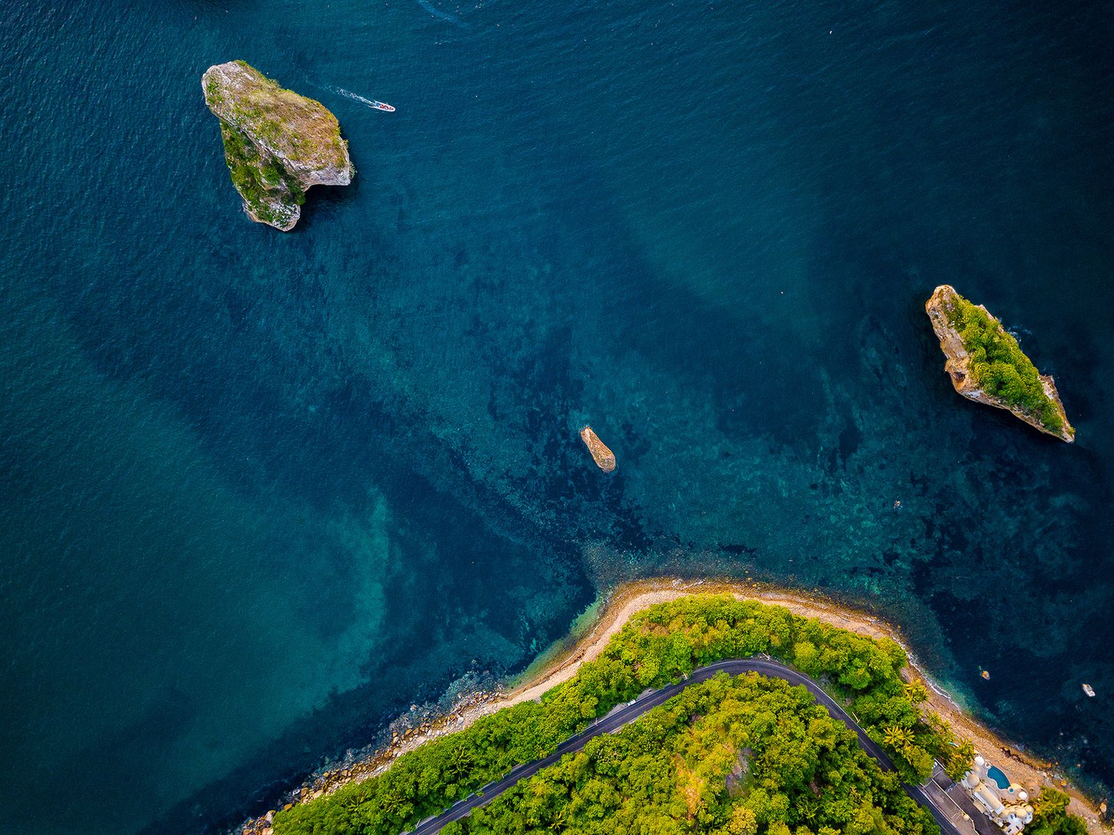
- Top-down, oblique and panoramic shots
- Real views from every level of the project
- Recurring construction progress
- High-resolution edited images
- Versions for web, social media and print
Questions
How long does delivery take?
A typical session is delivered edited within a few business days. The exact date is in your quote.
What if it rains or is windy?
We reschedule the flight at no cost. We always fly with the light and weather in the project’s favor.
Can you fly near the airport or the hotel zone?
We check airspace restrictions for each area in advance and operate under Mexican civil aviation (AFAC) regulations.